Underwater Study Notification
Surveyors are collecting underwater data in the Columbia River
The underwater survey work will start late January through February 2023.
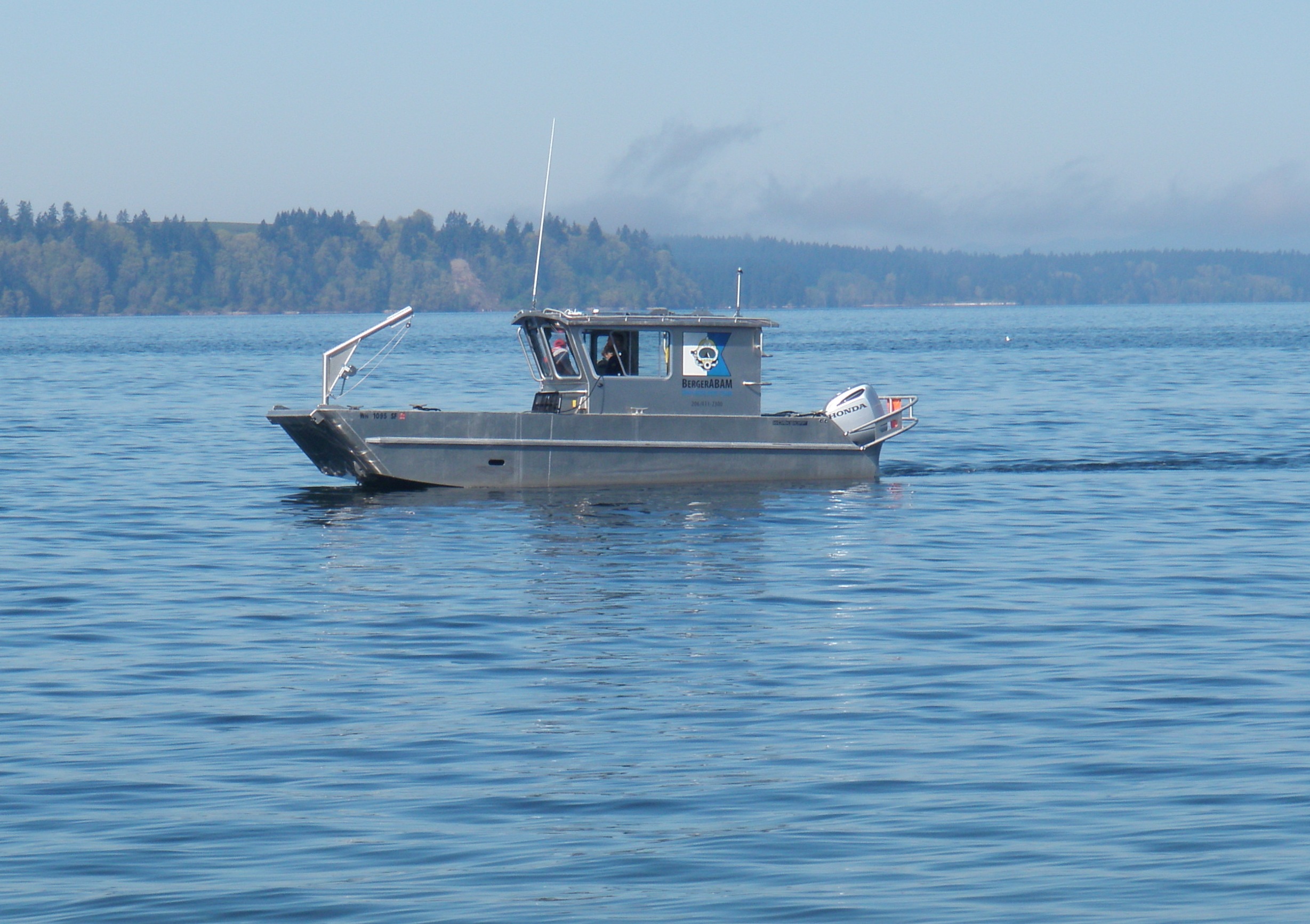
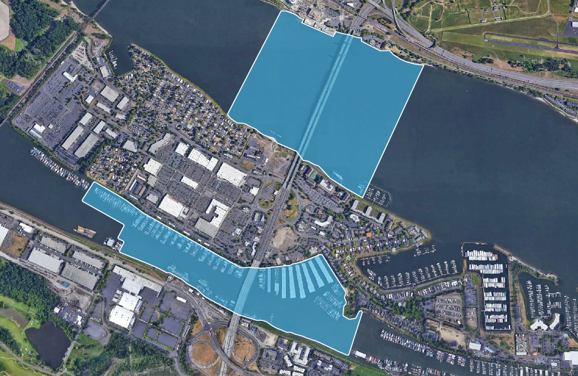
The Interstate Bridge Replacement (IBR) program team will be conducting an underwater survey in the Columbia River.
The surveyors will be navigating by boat near properties in the North Portland Harbor and the main channel.
How is this information used?
Surveyors collecting underwater data will be using multibeam and sidescan sonar to map the river bottom and collect data on conditions underwater of existing underwater structures, debris and the riverbed. This work will occur entirely in-water and data collected will be used to inform multiple disciplines on the IBR team. For cultural resources, in accordance to National Historic Preservation Act’s Section 106, the IBR program will be using the underwater study information to identify any potential underwater historic properties that could be impacted by the IBR program. For the design team, the information will be used to do hydraulic modeling to understand how the bridge foundations will affect the water flow in the river. The structures team will use it for designing the bridge foundations.
After the initial data is collected from the study, areas that need further investigation will be identified. Findings from the underwater study will be available in the Supplemental Draft Environmental Impact Statement (SDEIS), released for public comment in 2023.
We need your help.
Join us in our effort to replace the Interstate Bridge. Your feedback is important in shaping a solution.